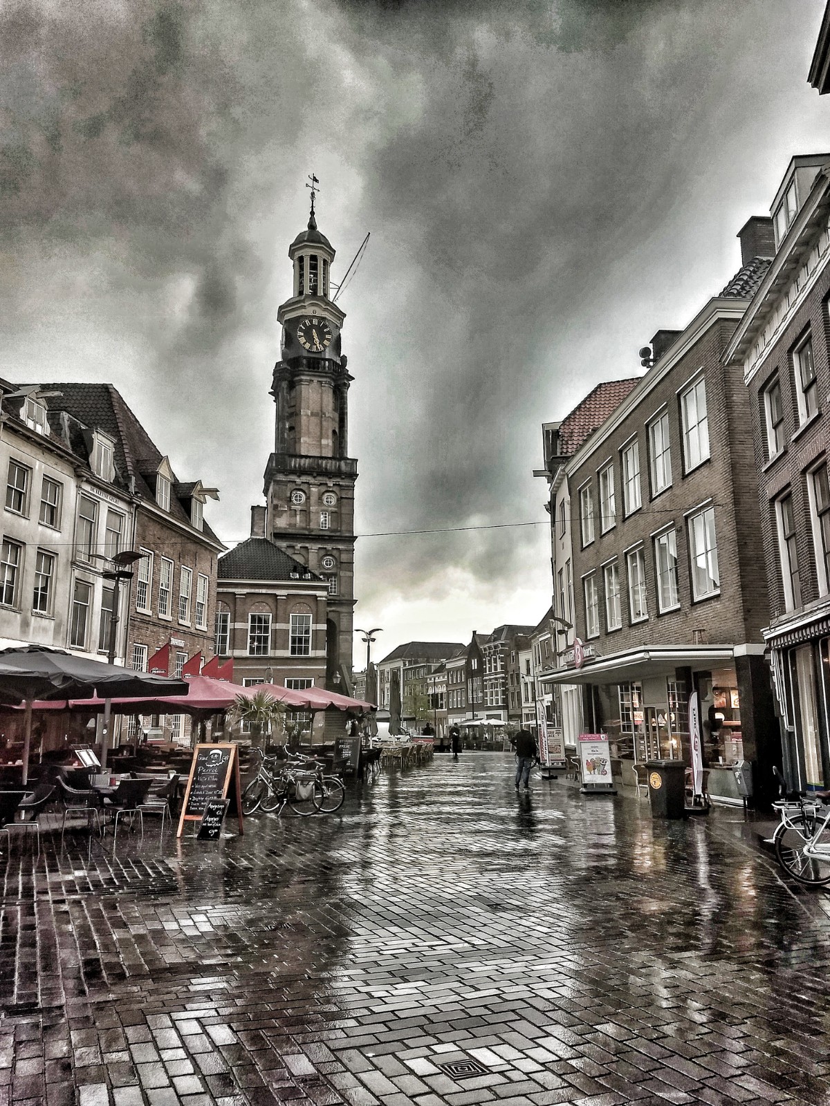
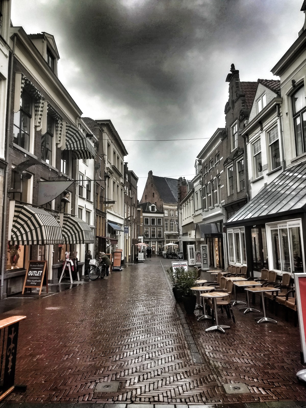
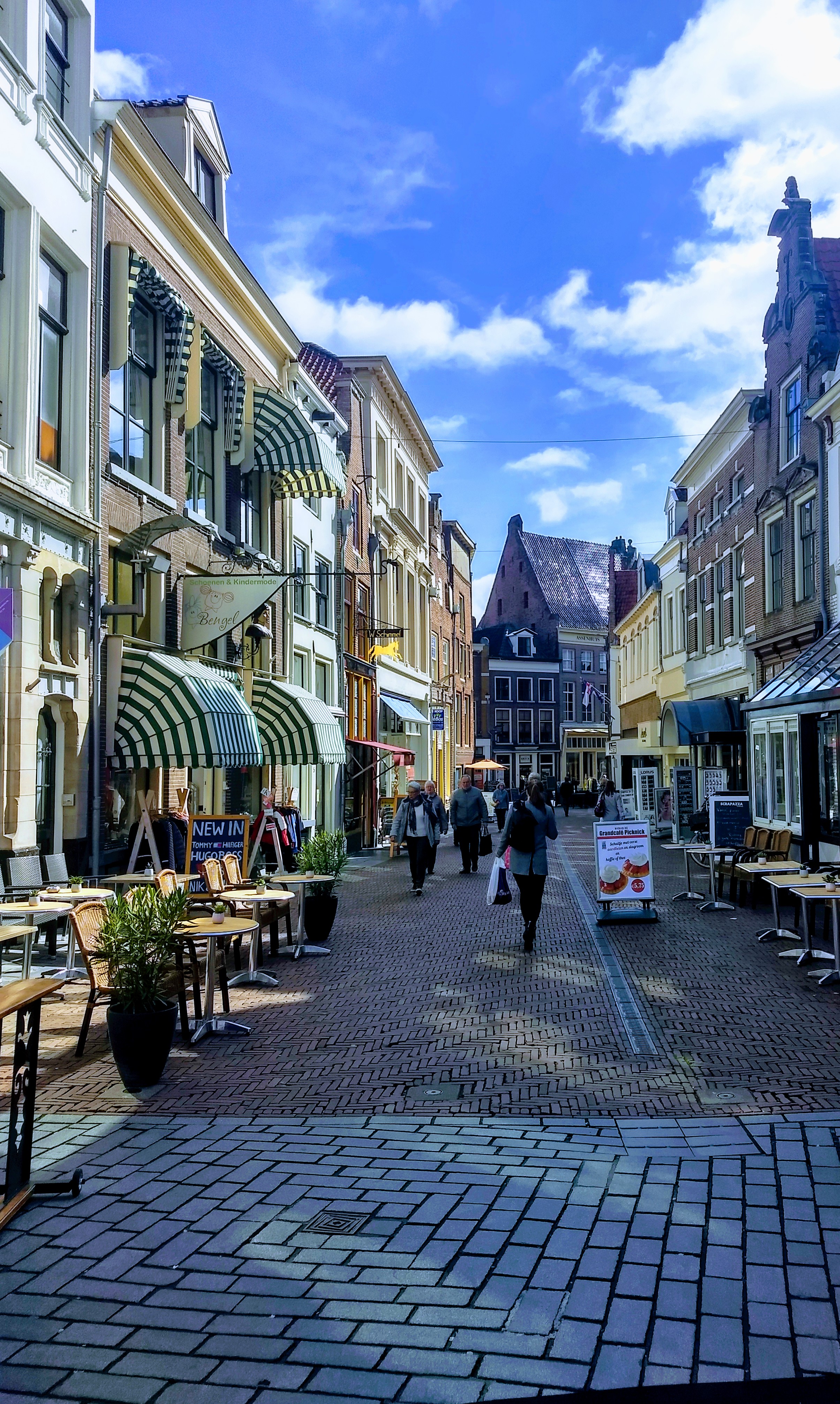
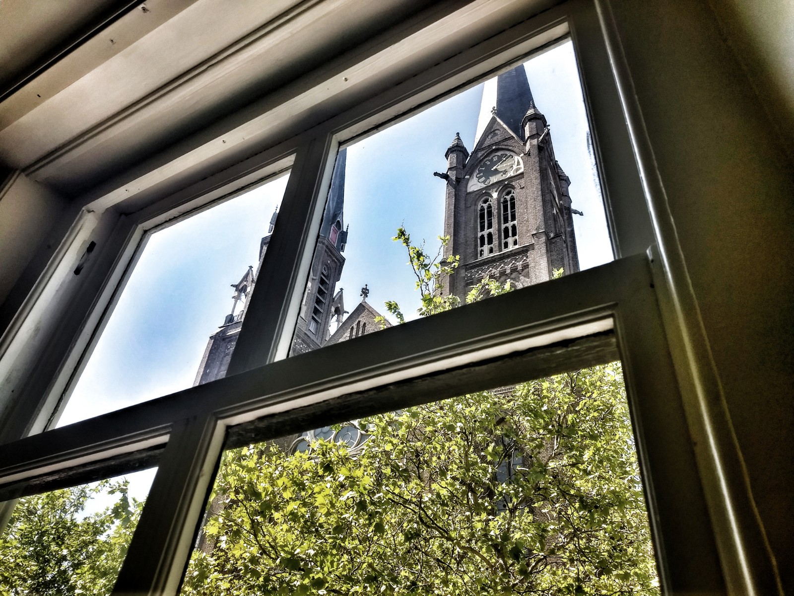
Zutphen:


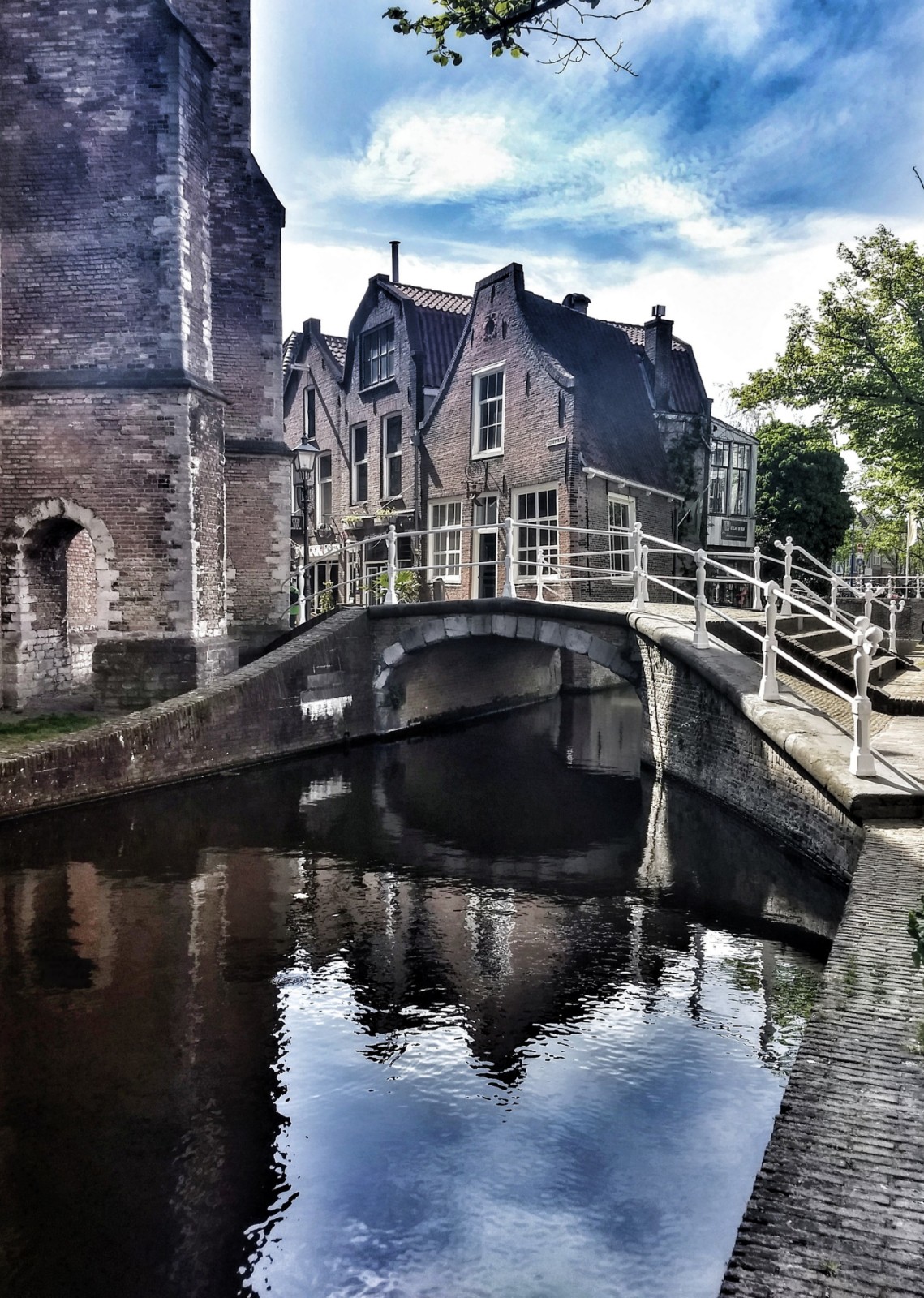
Delft:


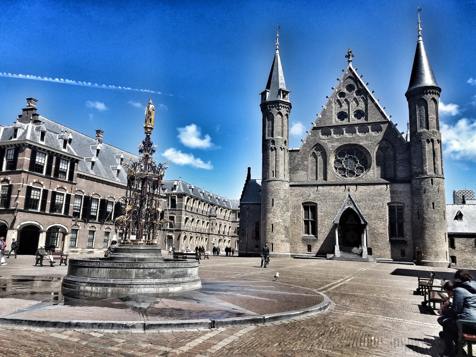
The Hague:
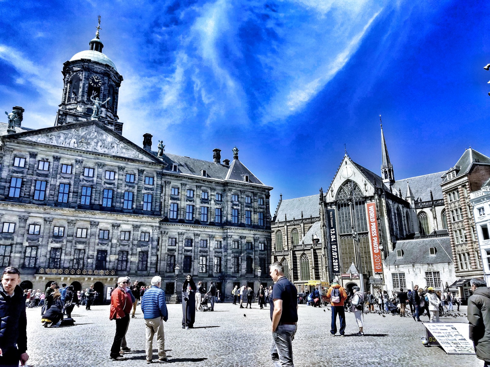
Amsterdam:


May 16, 2019
September 12, 2018
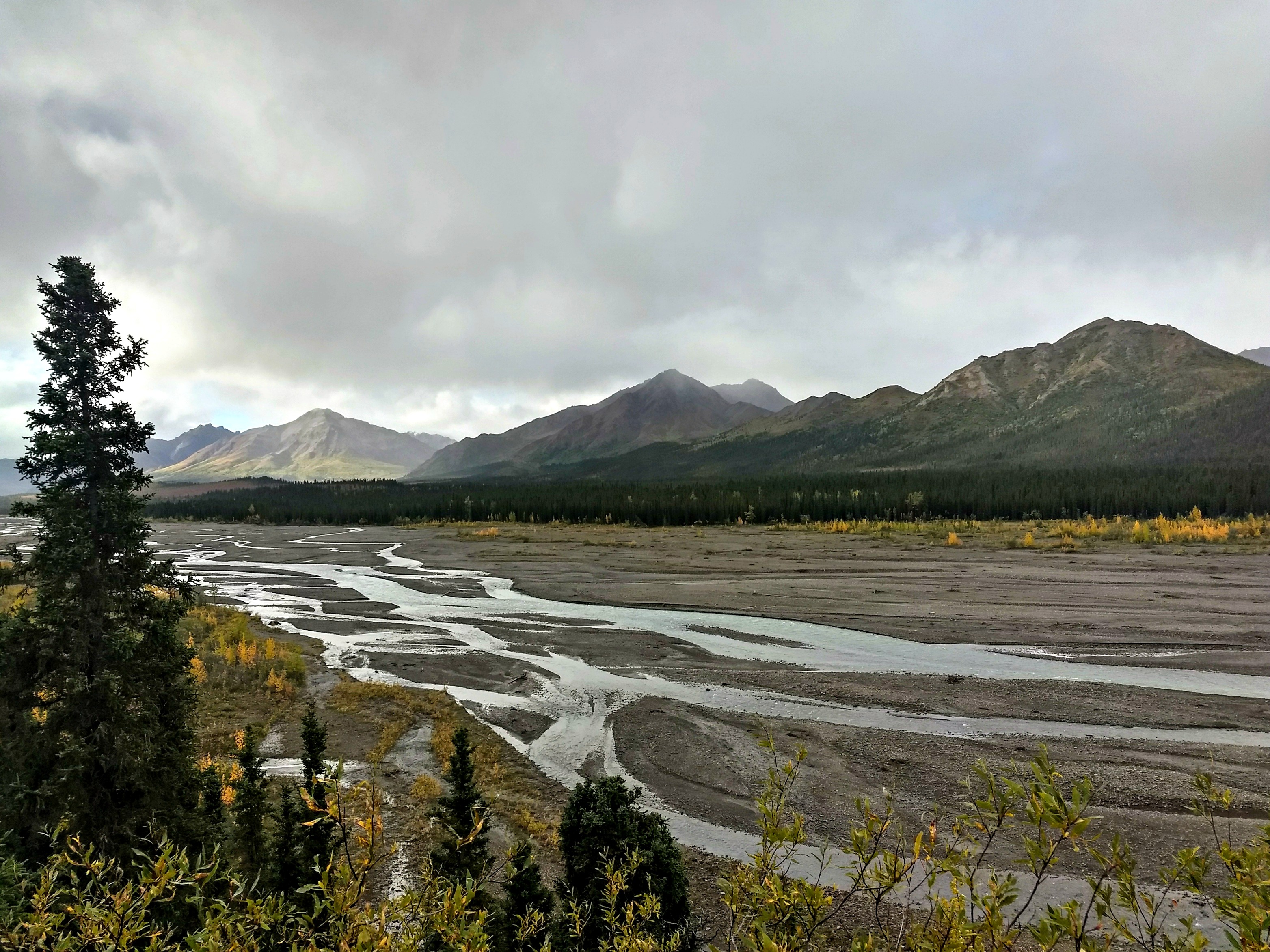
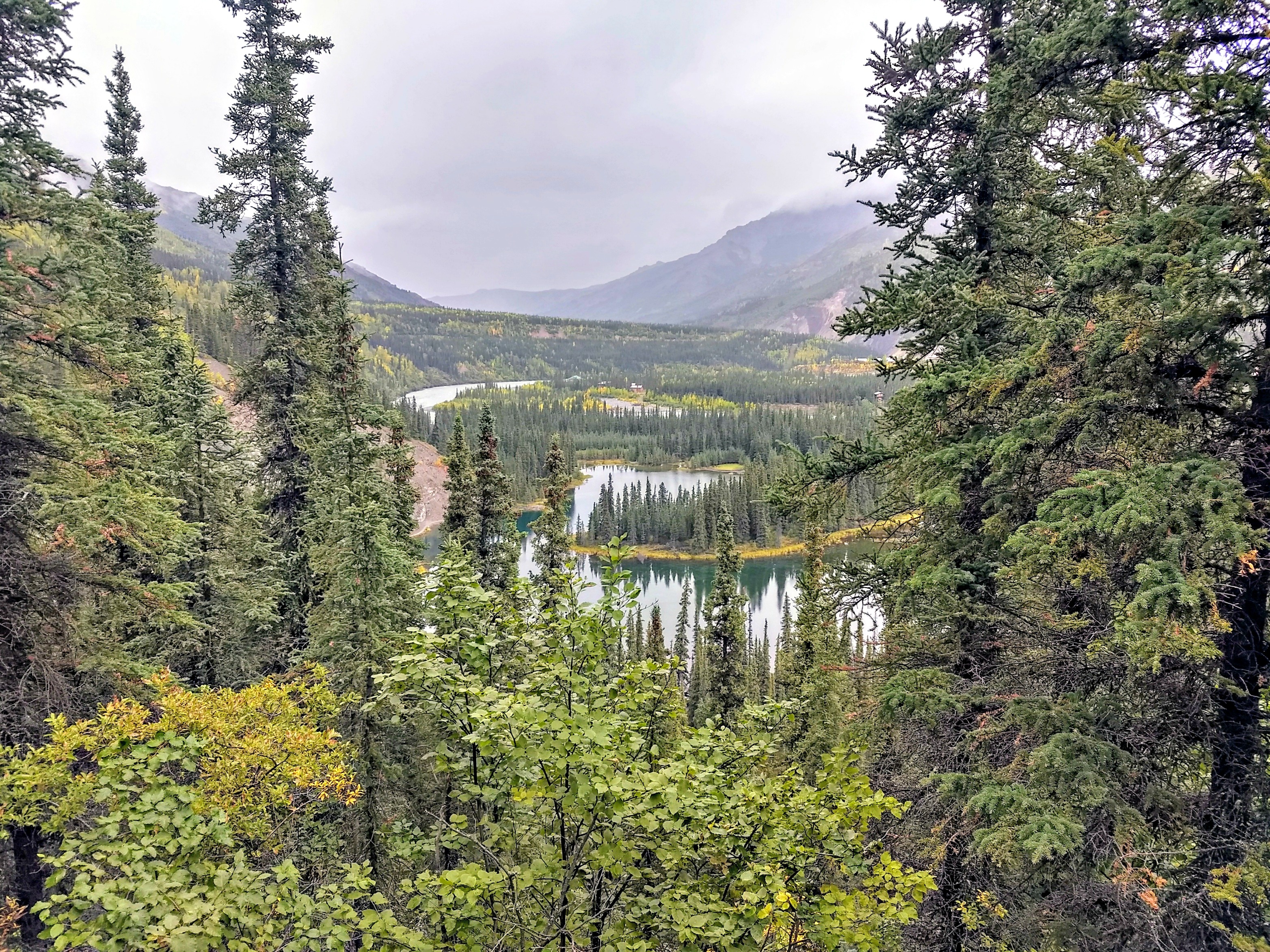
Denali National Park and Preserve:


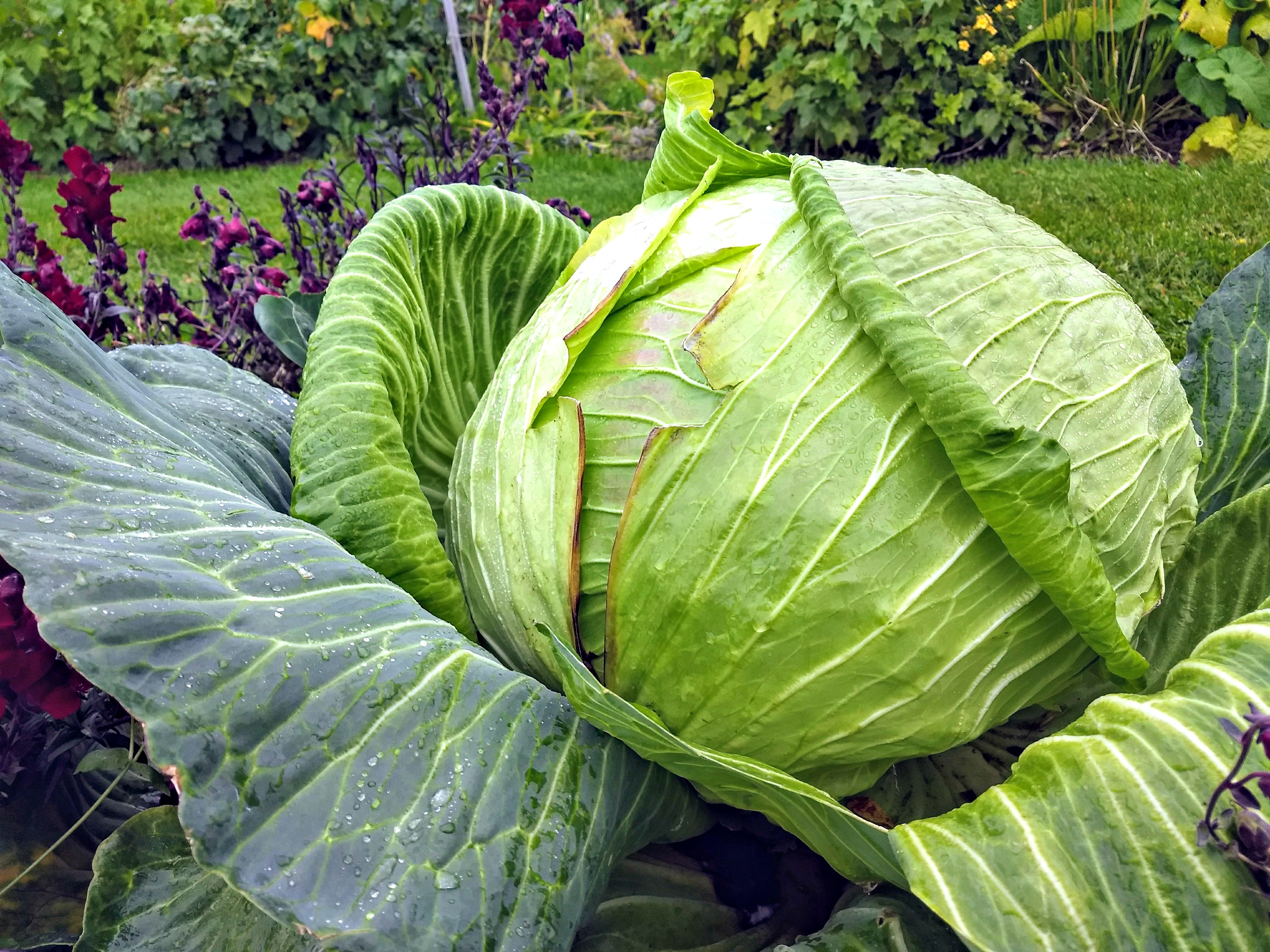
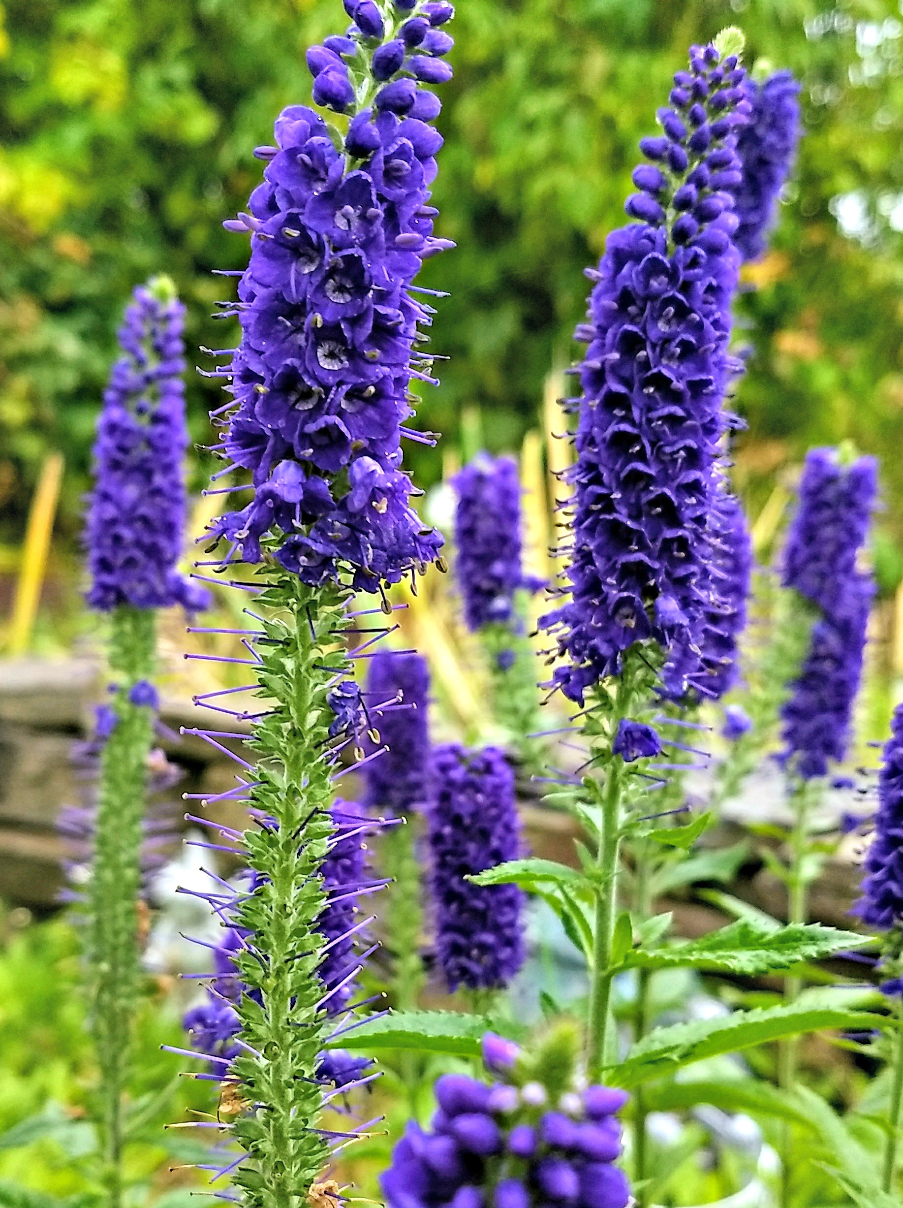
Georgeson Botanical Garden, University of Alaska Fairbanks:


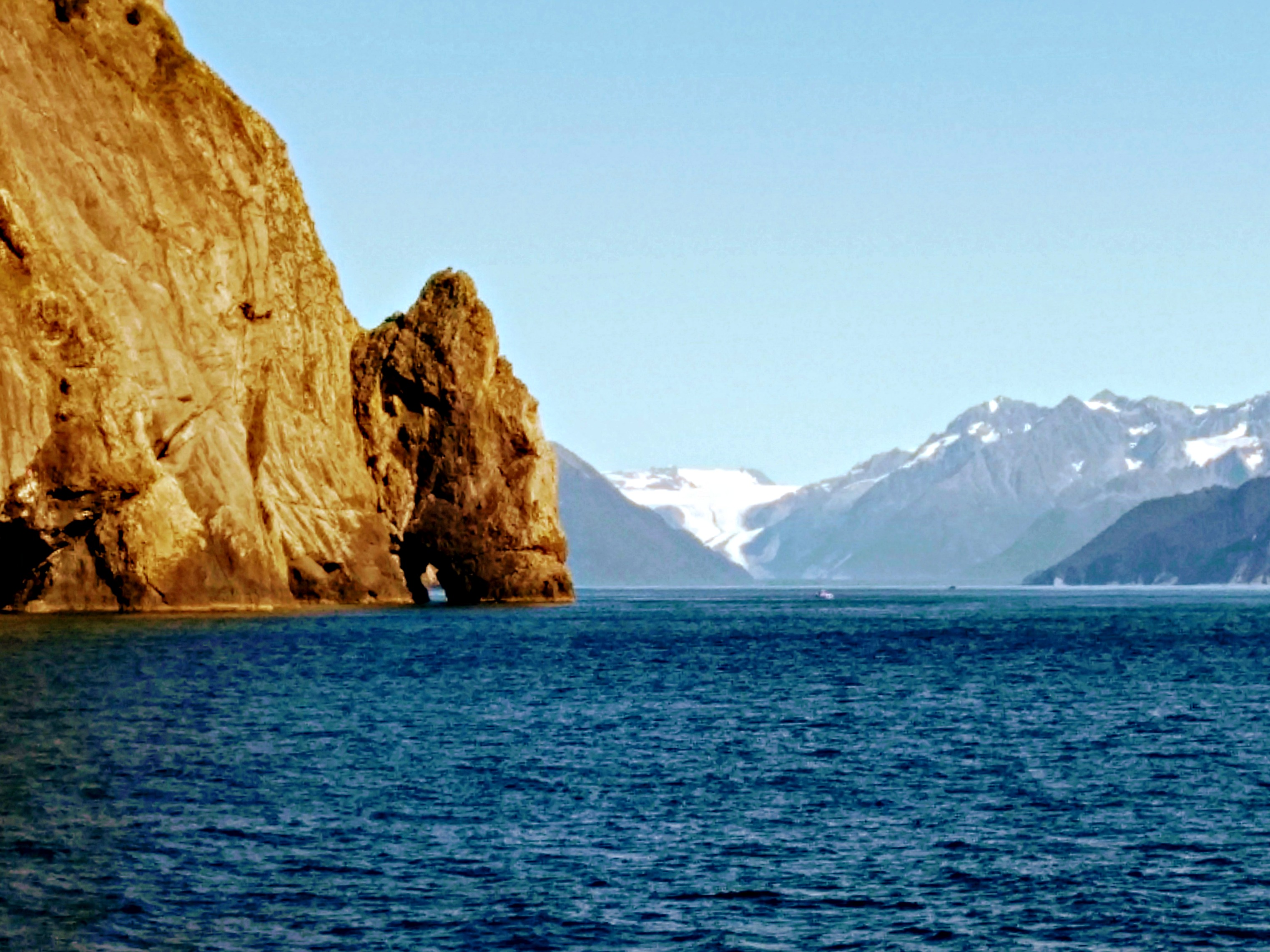
Kenai Fjords National Park:


August 16, 2017
Hulls Cove, high tide:
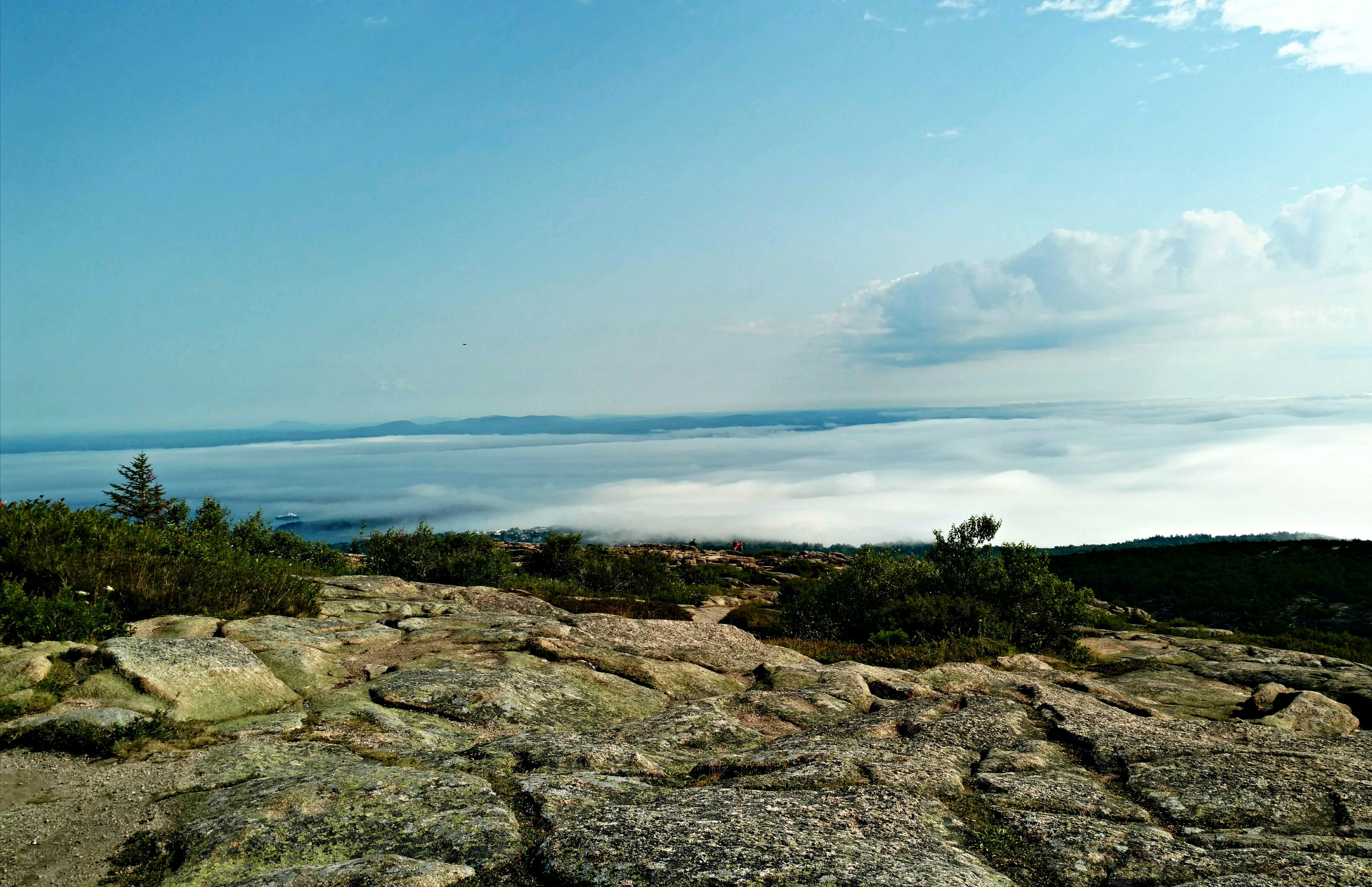
Cadillac Mountain, Acadia National Park:
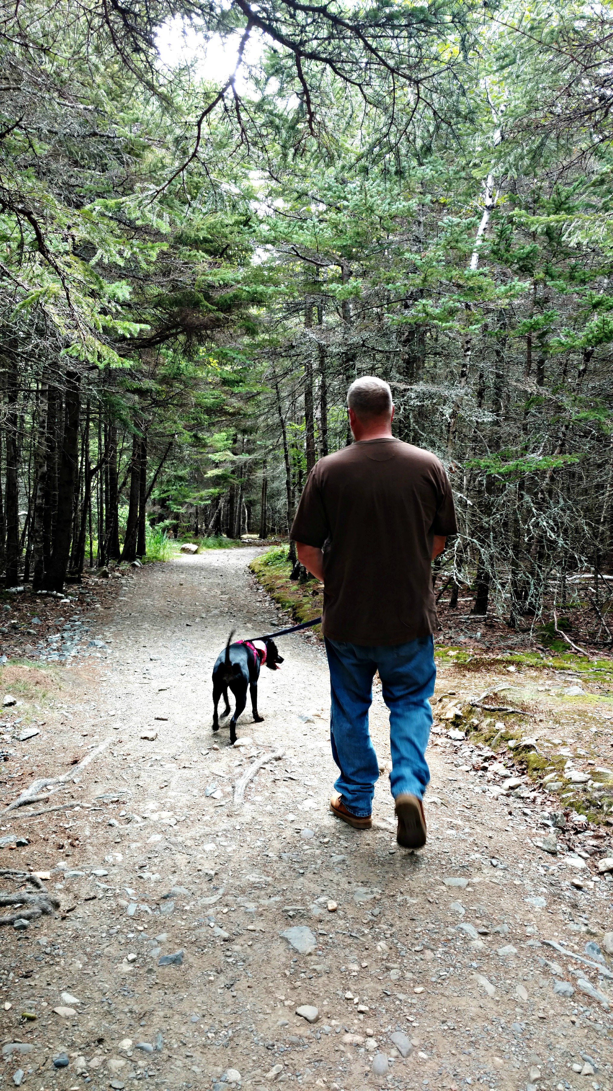
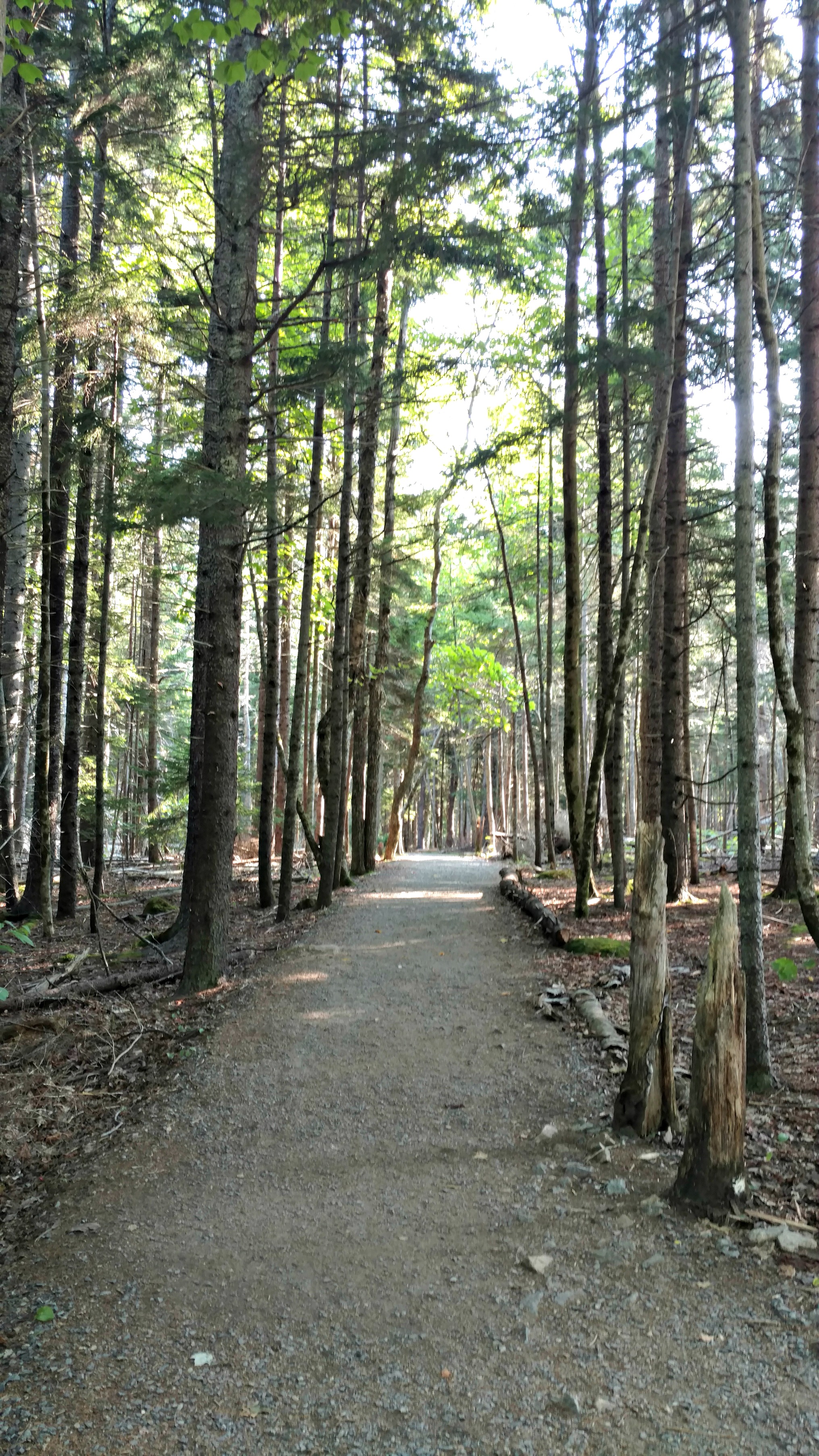
Acadia National Park:

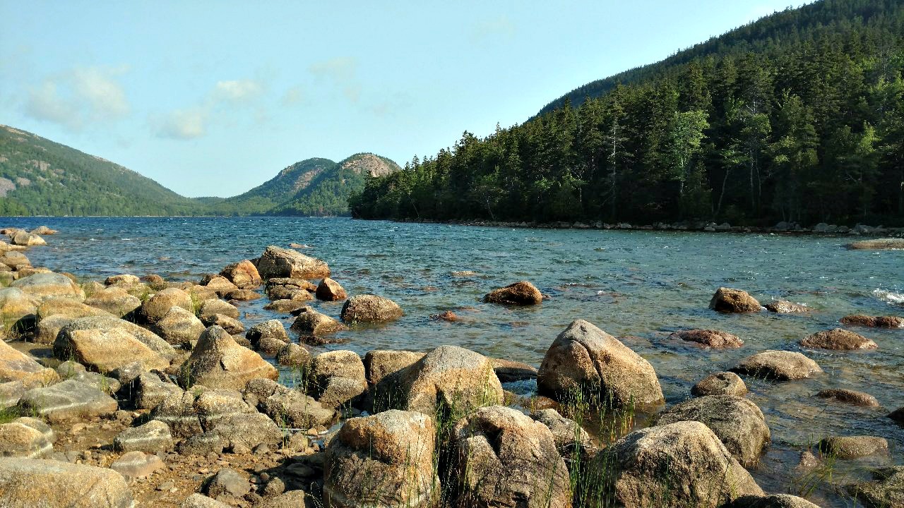
Jordan Pond, Acadia National Park:
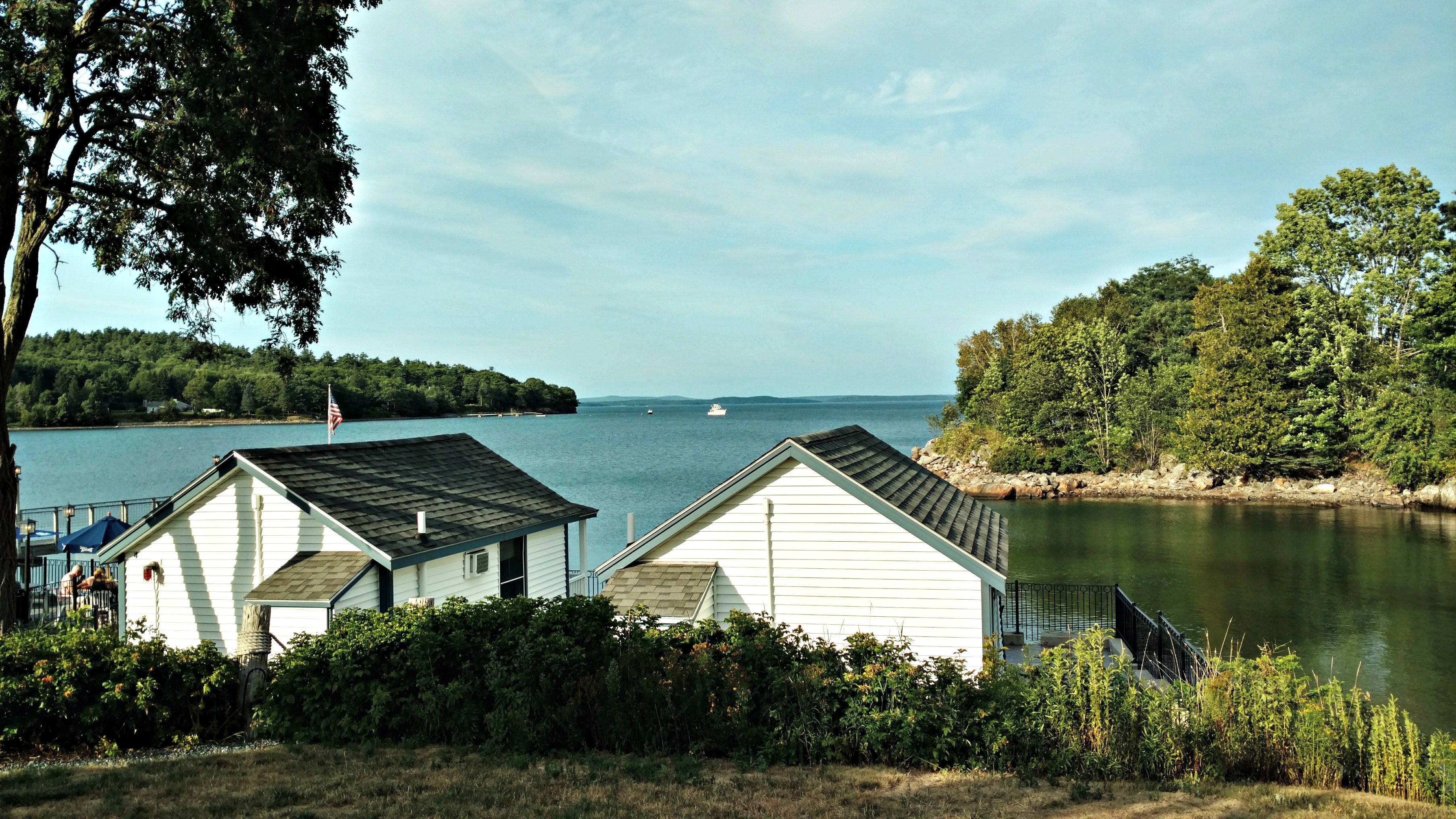
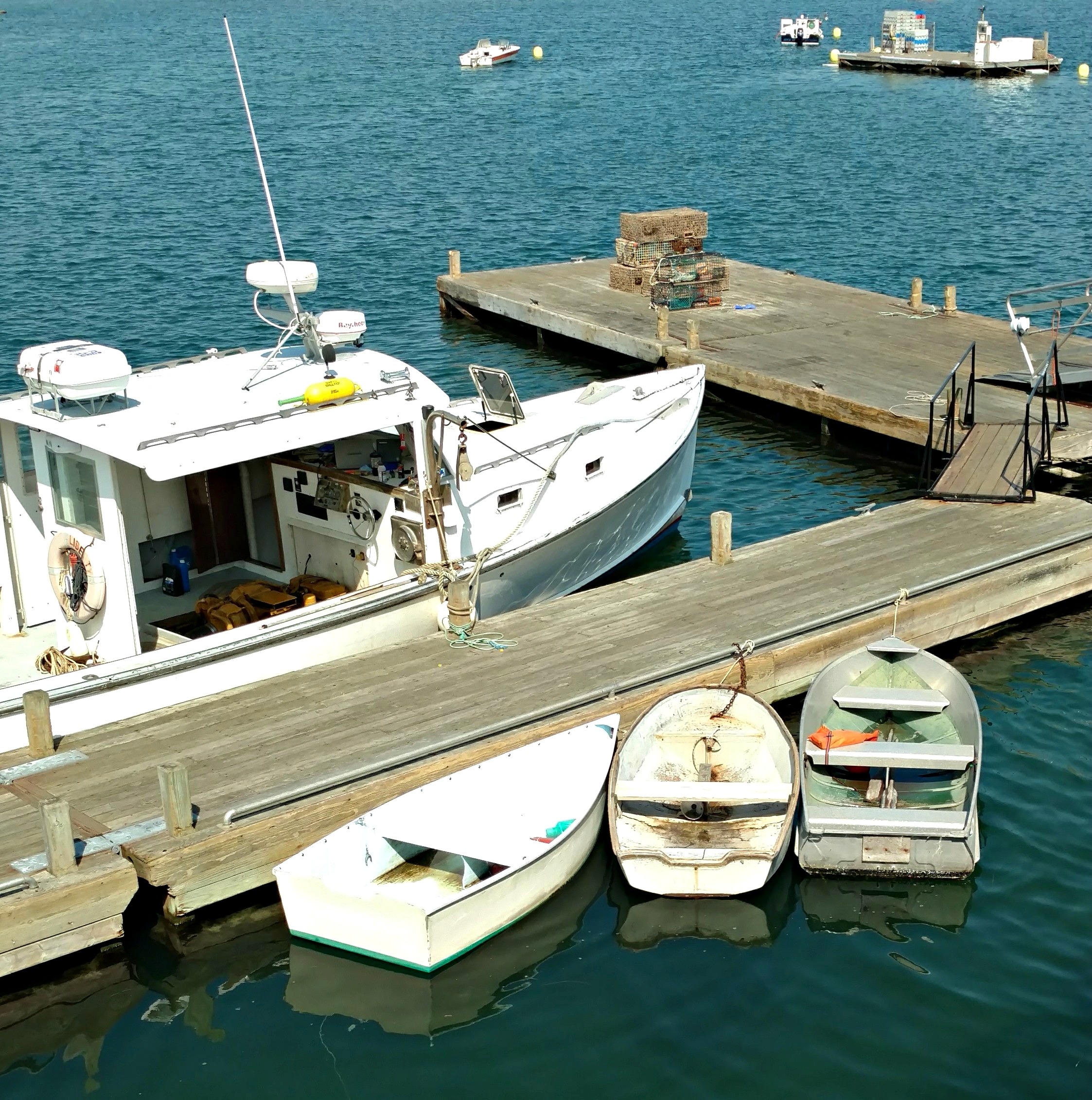
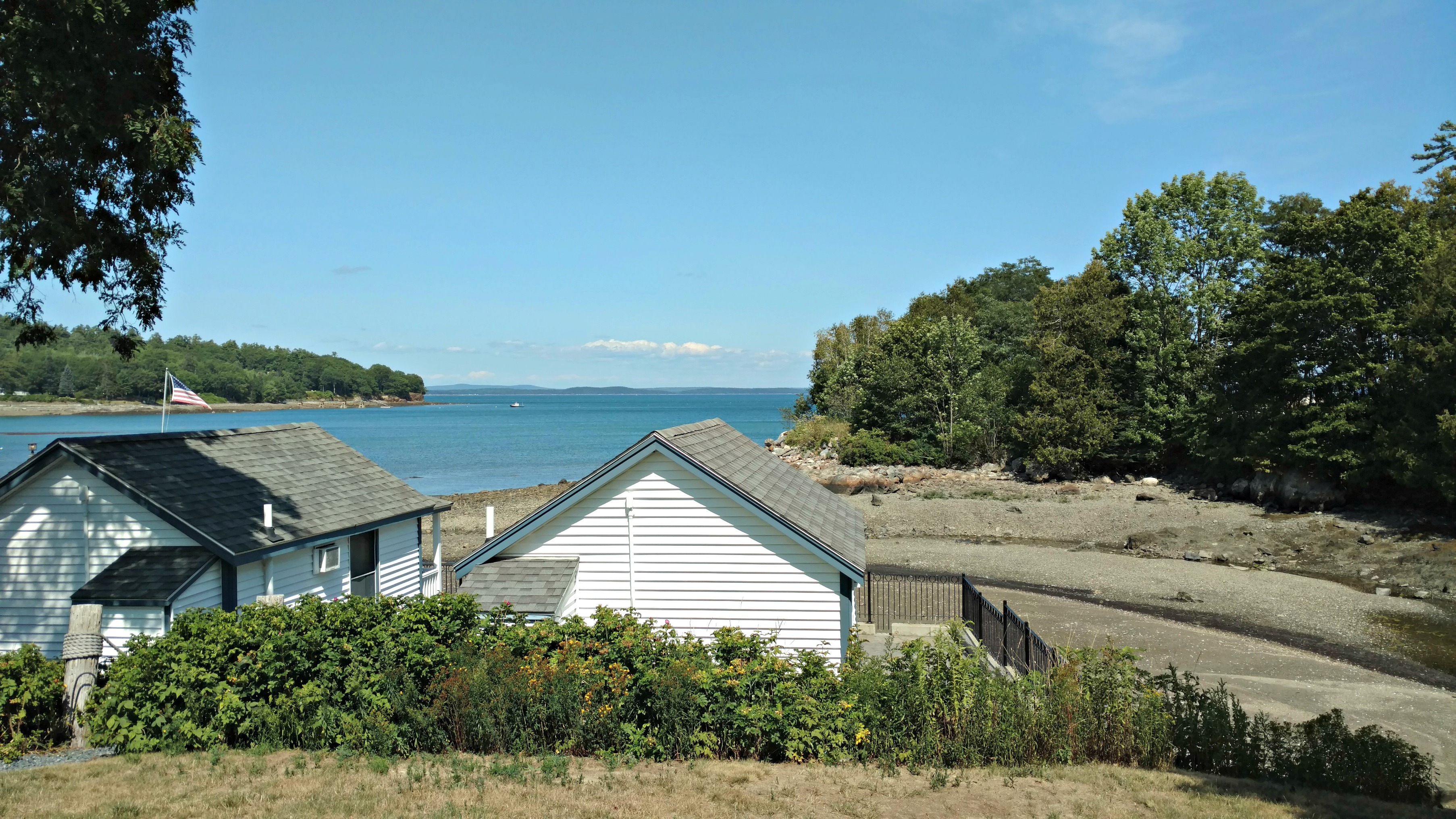
Bernard, Maine (Ellsworth, Maine is very close by):
Hulls Cove, low tide:
Hulls Cove, sunrise:
49 states down, one to go.
February 5, 2014
Thanks to everyone who encouraged me to write about our journey from Albuquerque, New Mexico to Lexington, Virginia. Here you go.
On December 6th, after months of planning, we were ready to drive across country. We had gone to closing on our house the day before and the new owners were scheduled to move in at Noon.
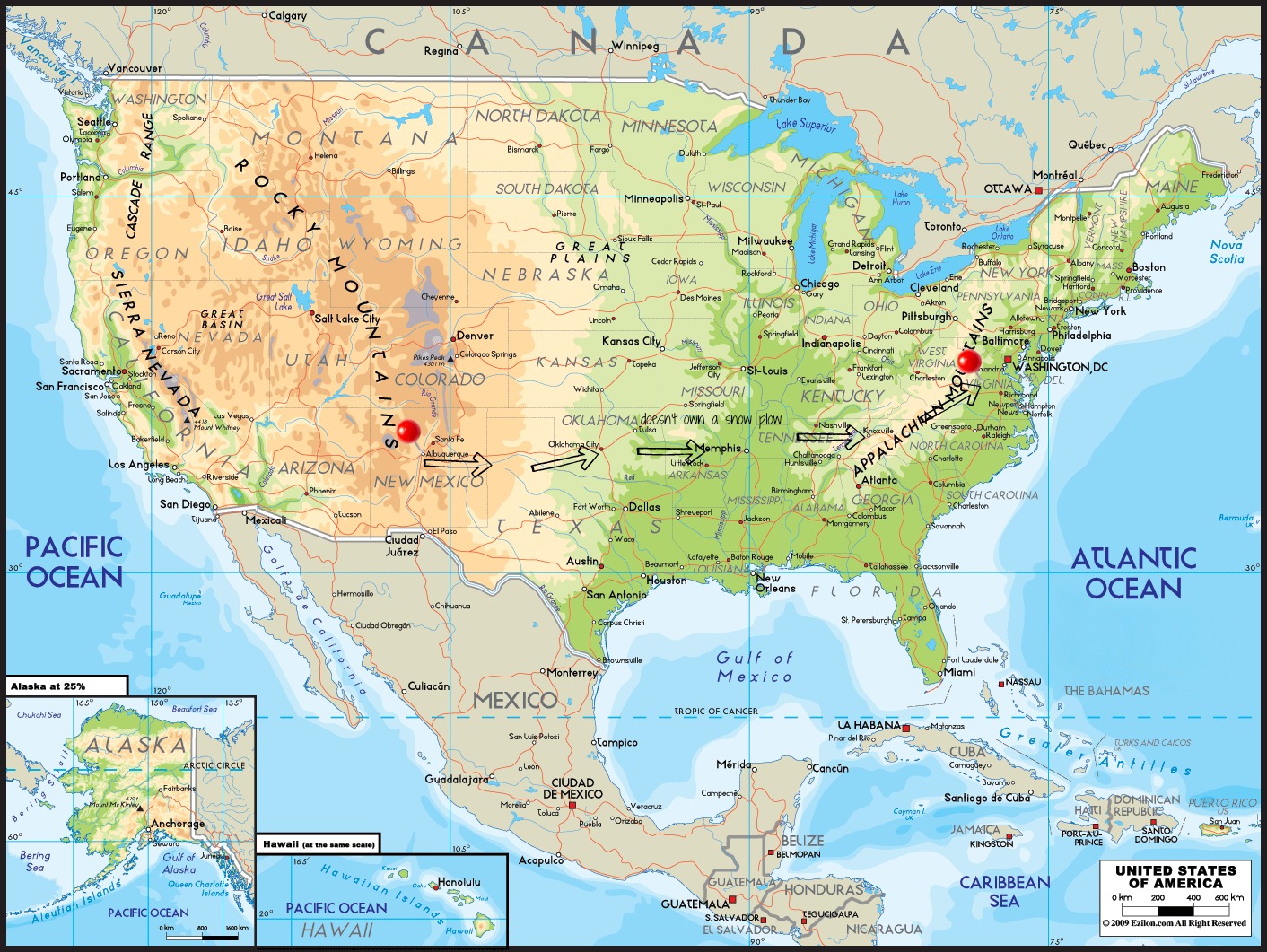
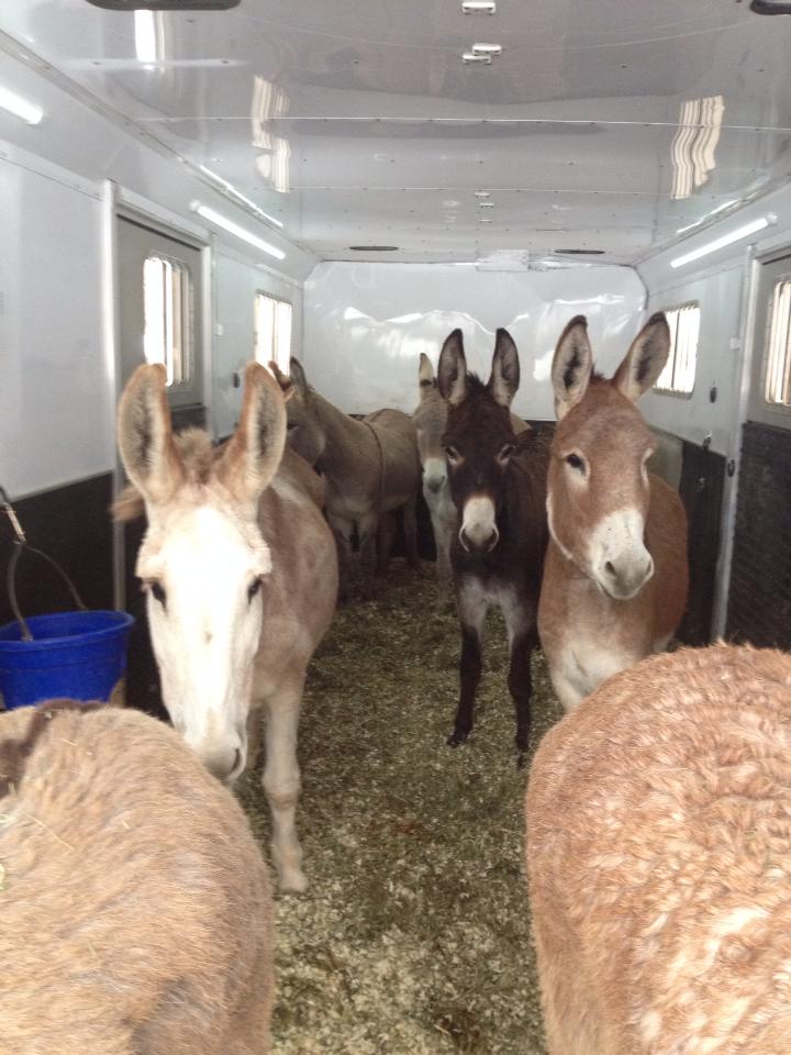
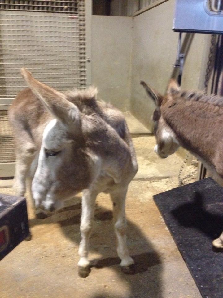
Knowing that 1,700 miles would put significant stress on the donkeys, we made the decision to hire a professional hauler to move them from Albuquerque to Lexington. Celso Rubio of Sin City Hauling out of Las Vegas, NV is an excellent hauler who took extremely good care of our herd.
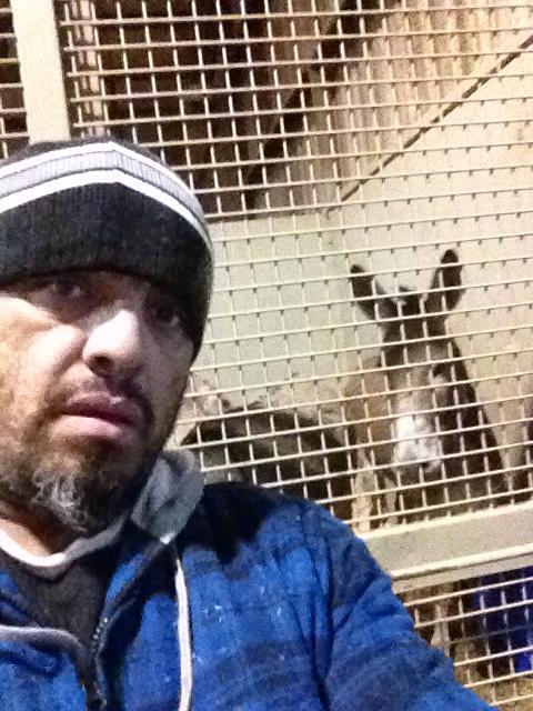
Celso arrived in Albuquerque at 6 a.m. ready to load donkeys onto his rig. It was bitterly cold and snow covered the ground. He backed his trailer up to our corral and we were able to run the herd onto his trailer. (One of the things that we mistakenly allowed the movers to pack and take with them was all of our tack, so we had no choice but to run them in. I felt horrible.) Poor Gracie was the most visibly affected as she stood in the trailer shaking like a leaf. I wondered if she thought she was going through another roundup situation. As we said farewell to Celso, I hugged him and burst out sobbing as I said, “Please take care of my babies!” I knew he would (thanks to the recommendations from our friends Dorothea and Paula), but the thought of not seeing them and knowing that they’d be under stress for a couple of days was more than I could bear at the moment. Watching him drive off with our herd was surreal.
After saying good-bye to our old house and farm, we loaded the dogs and Meggie Moo into our vehicles and got on the road around 9 a.m. I was in my truck with my mom (who had flown from Maryland to help out and drive back with us) and four dogs, and was pulling a trailer with Don’s motorcycle. Don was in his truck with Whisky and was pulling our horse trailer, which was filled with bales of New Mexico hay and Meggie.
Driving out of Albuquerque and up into the East Mountains, I watched the temperature plummet. As we drove through Moriarty it was minus 5°F – not counting wind chills – and I felt so bad for the Moo. We sat in accident traffic (a tractor trailer had careened off the road) for a couple of hours before crossing the border into Texas.
Pulling into a truck stop in Amarillo, we had to navigate a pothole that spanned the entire entrance. Don’s truck and the horse trailer slammed into the hole with enough force to first unlatch the trailer then bounce it off the ball hitch. Dragging the trailer by its safety chains, we got it to a flat spot and had to figure out a way to get it back on the truck. The trailer jack – even extended all the way – was about two inches too short, so we ended up using the jack from Don’s truck to get the trailer up high enough.
We had planned to make the trip to Virginia in two nights/three days, but took a day longer due to unforeseen circumstances and the weather (we were in the middle of winter storms Cleon and Dion). Instead of making it to Little Rock the first night, we stopped in Oklahoma City.
December 7th was the worst day of our trip. We woke up to more frigid temperatures and continued ice and snow on the roads.

Because the roads were so treacherous, we were convinced that Oklahoma doesn’t own any snow plows. Thankfully the roads were virtually empty and we were able to plod along I-40 at about 20 miles per hour. I can’t tell you how many cars and trucks we saw that had spun off the highway and how many tractor trailers that had jackknifed or flipped. It was heartbreaking. I’ll never forget seeing a big RV that had smashed into a million pieces in the median and the family that was picking through the wreckage. They might as well have lived through a tornado from the looks of it.
The road was literally a sheet of ice:

We stopped that night in Brinkley, Arkansas – about 70 miles east of Little Rock. I’ll be forever grateful to Motel 6 and their pet-friendly policy, because Meggie stayed in our rooms with us all three nights on our journey east. There was no way we were leaving her out in the trailer overnight – she needed to get warm and she needed to know she wasn’t alone. She did great in the rooms with us, even if it made things a bit circus-like. Here she is sleeping standing up in the room in Arkansas:

December 8th. We woke up to more ice; freezing rain had fallen overnight. I seriously questioned whether I could drive another day in those conditions. Because we knew Celso was planning to get the donkeys to Lexington that day and because we were expecting our furniture to be delivered on December 10th, we pushed on. As we got out of Arkansas and into Tennessee, snow and ice turned into rain and fog. It was so foggy in Memphis we couldn’t see the Mississippi River as we crossed it. After Don had a fishtail incident and I watched him and the horse trailer almost permanently lose control, we decided to stop in Knoxville, Tennessee that night. That was the night I caught Meggie eating toilet paper in the Motel 6 bathroom and I was so happy to think that we would finally be “home” tomorrow.
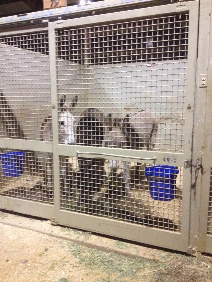
True to his word, Celso got the herd safely delivered to Virginia late the evening of December 8th. Because we knew that Celso would arrive with the donkeys before we did, we made arrangements for him to deliver them to the Virginia Horse Center, which is just down the road from us. They were so kind and accommodating and took such good care of the Boyz, Gracie and Harriet.
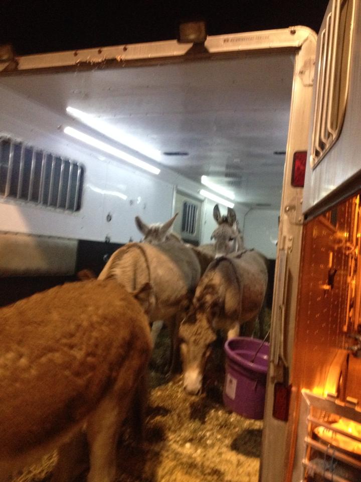
We can’t recommend Celso – and his heart of gold – enough. He provided us with constant updates throughout the trip, which was a godsend.

December 9th. After about five more hours of driving, we finally arrived in Lexington. One of the first things we had planned was to go and get the herd from the Horse Center and bring them home. Unfortunately, because it had rained so much the previous few days, Don’s truck and the horse trailer got stuck in the mud at the barn when we drove down to unload hay. We knew there was no way we could take the trailer with the weight of seven donkeys down the hill, so we had to come up with a new plan.
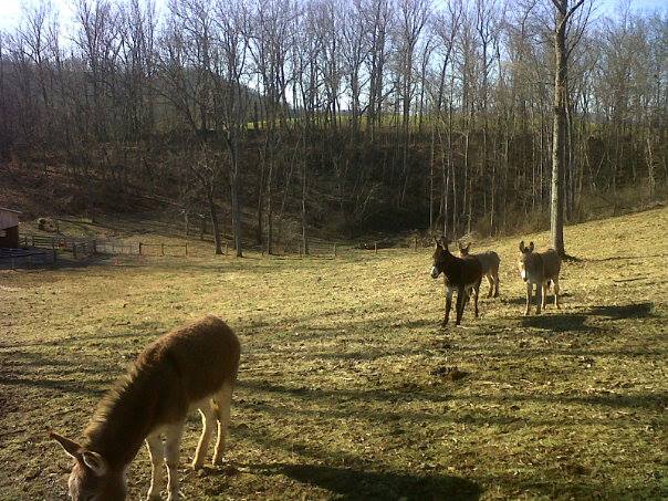
We went to visit the herd at the Horse Center and vowed to get them home the next day. After a trip to Tractor Supply to buy new halters and lead ropes, we planned to bring the herd home in two trips rather than one. We put Bernard, Patrick, Buck and Harriet in the first load because we knew we could park the trailer up at the top of the hill and lead them down to the barn. Sure enough, we did… with no trouble at all. We then went back for Ellsworth, Nigel and Gracie. Without a doubt, Ellsworth would have walked down the hill with the others in the first load, but Nigel and Gracie needed him for moral support. When Ellsworth got right on the trailer at the Horse Center, we hoped that Nigel would follow. Nope. Nigel refused to get on the trailer, no matter how hard we tried to persuade him it was okay. We ended up letting him go and letting Gracie out to see what she would do. Gracie jumped right into the trailer and Nigel followed right behind. Whoo-hoo! When we got them home, because there wasn’t as much weight on the trailer, we were able to back them down to the barn and release them right into the pasture.
What an adventure! ♥ ♥ ♥ ♥ ♥ ♥ ♥
April 20, 2013
September 8, 2012

Sea Lion Rocks. Thousands of seabirds live and nest on these protected rocks:


Each afternoon at low tide, we visited the tide pools. I fell in love with the anemones.


Haystack Rock:

See all the white spots on Haystack Rock? More seabirds:

I can still hear the birds and smell the water.
More tide pools. We were so excited when we saw our first starfish:

Little did we know:


The End. We loved it all.
♥ ♥ ♥ ♥ ♥
September 7, 2012
The next stop on our 2012 vacation was Critter Farm. We were so excited to see Danni, and to meet her husband Jim and all of their critters.
Their beautiful little Roxy stole our hearts with her big personality and long black eyelashes:

Danni’s gardens are stunning:


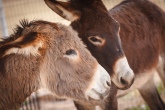
Don and I were so excited to meet Beau and Chester:

And to get our donkey fix:


No matter where you are, some things never change:

Even though she’s shy, Kai llama is a gorgeous girl who loves her goats:

Honey the chicken loves to help Danni with the chores:

All of the critters love Danni and Jim:


And they love their critters:

At Critter Farm, everyone gets along:

♥ ♥ ♥
Danni and Jim, thank you.
NEXT:
September 6, 2012
Multnomah Falls is about 30 minutes outside of Portland toward the end of the Columbia River Gorge.
From oregon.com:
Visiting Multnomah Falls, a 611-foot-tall roaring, awe-inspiring cascade of icy water, lets you experience the power and beauty of nature up close and with ease. From the parking area off of I-84, a 5-minute walk is all that separates you from the exhilarating spray at the base of the falls.
According to Native American lore, Multnomah Falls was created to win the heart of a young princess who wanted a hidden place to bathe. Although you can see the top portion of the falls from the highway, to view both tiers you have to walk to the viewing area located in a carved-out opening in the rock face. Tilting your head up in the narrow rocky confines of the steep cliffs, you get a mind-boggling perspective on the sheer magnitude of the falls.
For an even closer view, walk another several hundred feet up the paved trail to reach Benson Bridge, which spans the falls at the first tier’s misty base. Standing on the bridge you have a perfect view of the top tier’s full 542-foot height and a knee-wobbling vantage point over the second tier’s 69-foot drop! The bridge is named for Simon Benson, a prominent Portland businessman who owned the falls in the early part of the 1900s. Before his death, Benson gave Multnomah Falls to the City of Portland, which later transferred ownership to the USDA Forest Service.
Benson Bridge is noted by #1 in this photo:

Also from oregon.com:
From Benson Bridge, hike another mile up a very steep path to reach the top of the falls. Here you will be rewarded, weather permitting, with spectacular views of the Columbia Gorge. The trail may be closed due to hazardous conditions so make sure to check with the rangers before embarking. (Steep drop-offs and uneven or slick walking surfaces make this trail dangerous for children.)
The steep one-mile trail leading from the base of the falls to the top is loved by locals for its views, wildflowers, and comparative lack of visitors.
The top of the falls is noted by #2 in the above photo.
This is what it looked like from the top:

Beautiful.
LATER THIS WEEK:
September 4, 2012
The air in Boise was thick with smoke from the Trinity Ridge Fire the day we visited the Idaho State Capitol.

About the Capitol from the Idaho Capitol Commission:
The dome of Idaho’s State Capitol rises 208 feet into the Boise skyline, a classical architectural form prominent among the city’s modern multi-story buildings and the landscape’s rolling foothills. The Renaissance Revival Capitol is Idaho’s most significant historic structure and a building that reflects the state’s political, social, and economic history.

Over 100 years since conception, the Capitol continues to function as the seat of Idaho’s state government, currently housing the executive and legislative branches and numerous state offices, which occupy much of the approximately 111,600 square feet of usable space.


Although the use of transitional architectural form is drawn from various historic epochs, the materials used in realizing the design draw upon local resources. Composed of locally quarried stone, the sandstone exterior resonates the dusty light auburn hues of Boise’s surrounding foothills, adapting the Capitol’s civic symbolism to serve the people and land of Idaho.

Facts about the Idaho Capitol Building from the Idaho Capitol Commission:


LATER THIS WEEK:
September 3, 2012
We spent our first night of vacation in a rustic wooden cottage at Billingsley Creek Lodge and Retreat. Our cottage sat right on the edge of spring-fed Billingsley Creek.


The lodge has beautiful gardens:


A lovely koi pond:

And a couple of resident muskrats:

The next morning we were off to Malad Gorge at Thousand Springs State Park.


The Malad River crashes down stair step falls, then cuts through a beautiful 250-foot gorge on its way to the Snake River, two and a half miles downstream.


Most of the history at this park is on the geologic scale. The cracks and folds of rock along the canyon cliffs record the movements of earth, lava and water.

Our last stop before heading back to Boise was Bruneau Dunes State Park.

The park is the site of North America’s highest single-structured sand dune, which is about 470 feet high.
Don and I both agreed that the landscape at Bruneau dunes was simply surreal. This olive tree standing in front of the dunes is my favorite photo from our time in Idaho.
This is my favorite version:

Which one do you like best?


TOMORROW: